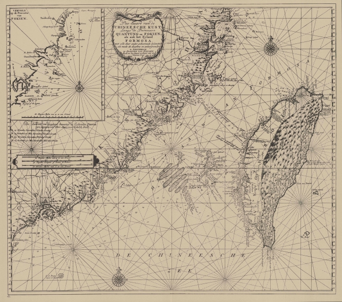
 Van Keulen (1728, kaart 183)
Description Pas-kaart van de Chineesche Kust Langs de Provincien Quantung en Fokien, als ook het Eyland Formosa met alle daar onder gehoorende Eylanden als mede de dieptens en ankergronden
Datum: 1728
Plaats: Taiwan, Straat van Taiwan
JPG file - 3.27 MB - 7 056 x 6 249 pixels
added on 2011-08-102 530 viewsMangroves distribution - Places on this image:TaiwanFormosa Strait
From reference de Marre, J.; van Keulen, J. (1753). De Nieuwe Groote Lic... (page [229])
This work is licensed under a Creative Commons Attribution-NonCommercial-ShareAlike 4.0 International License
 Comment (0) Comment (0)
|